Hi, I'm Oli Viglundsson!
Check out my projects CV / Resume
About Me
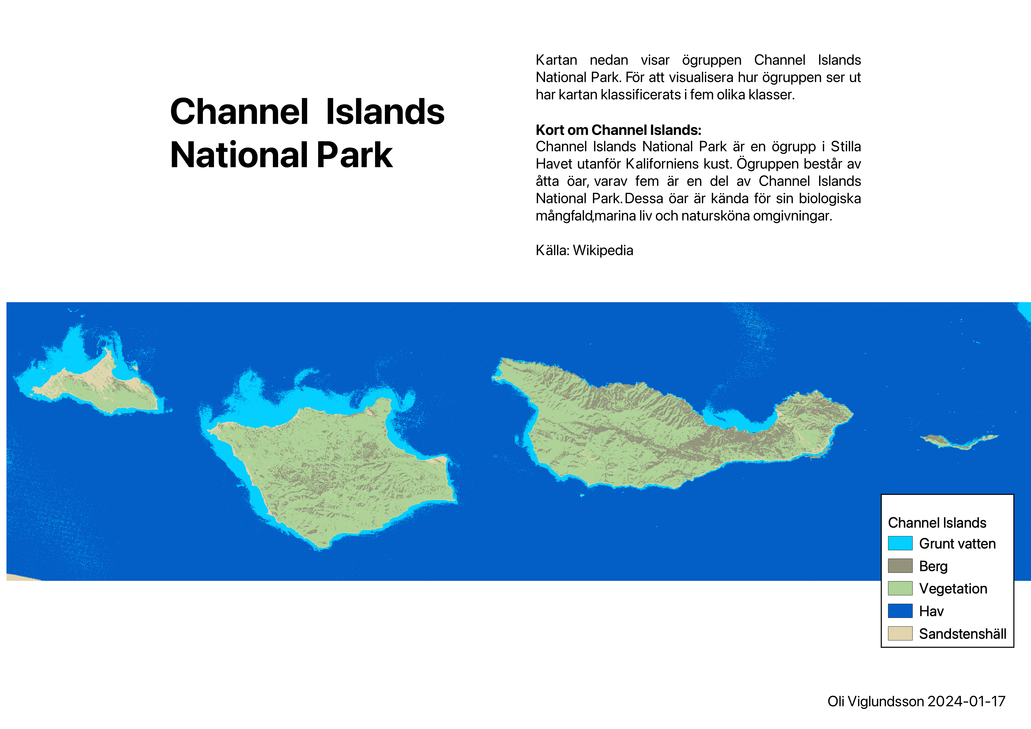
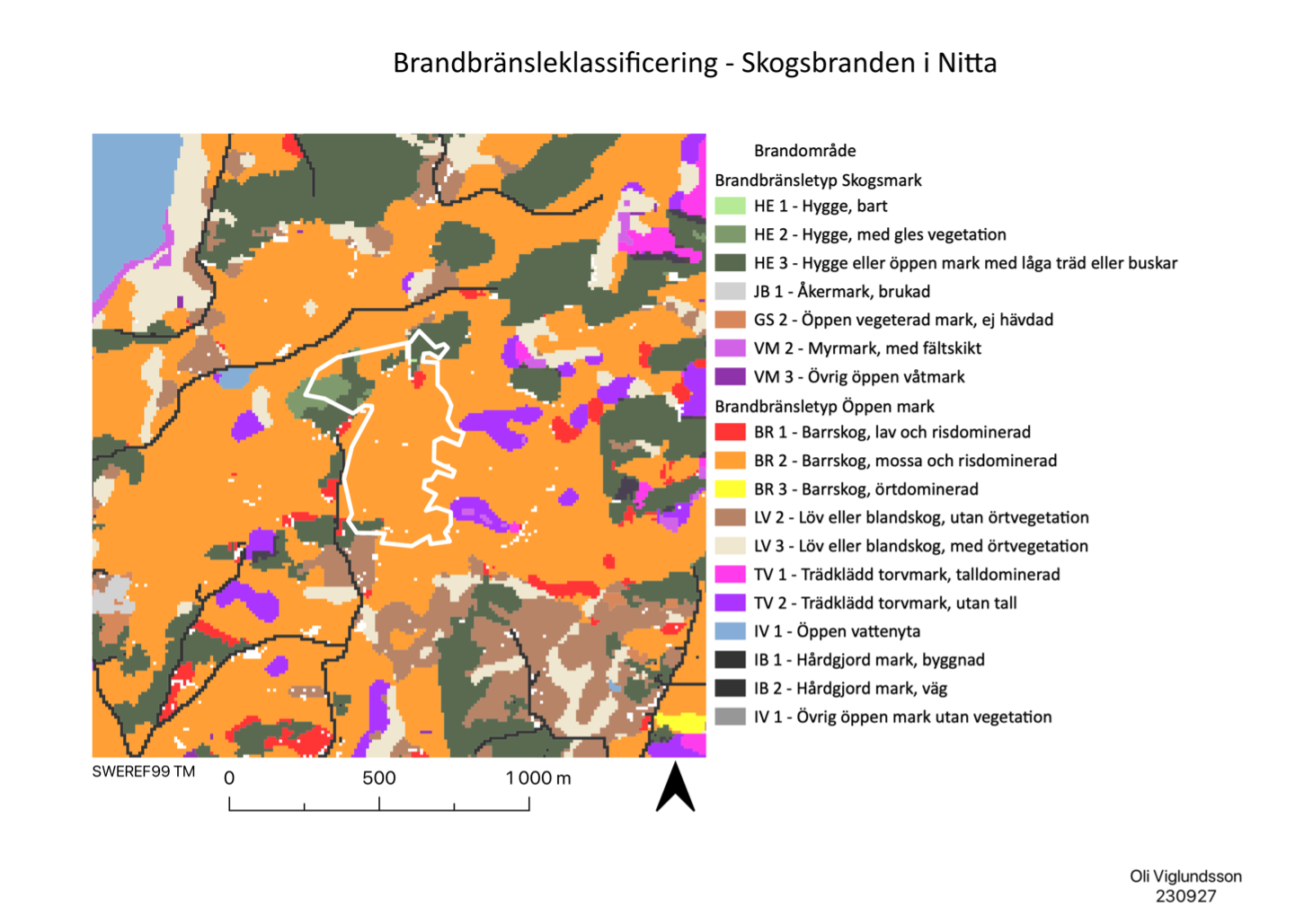
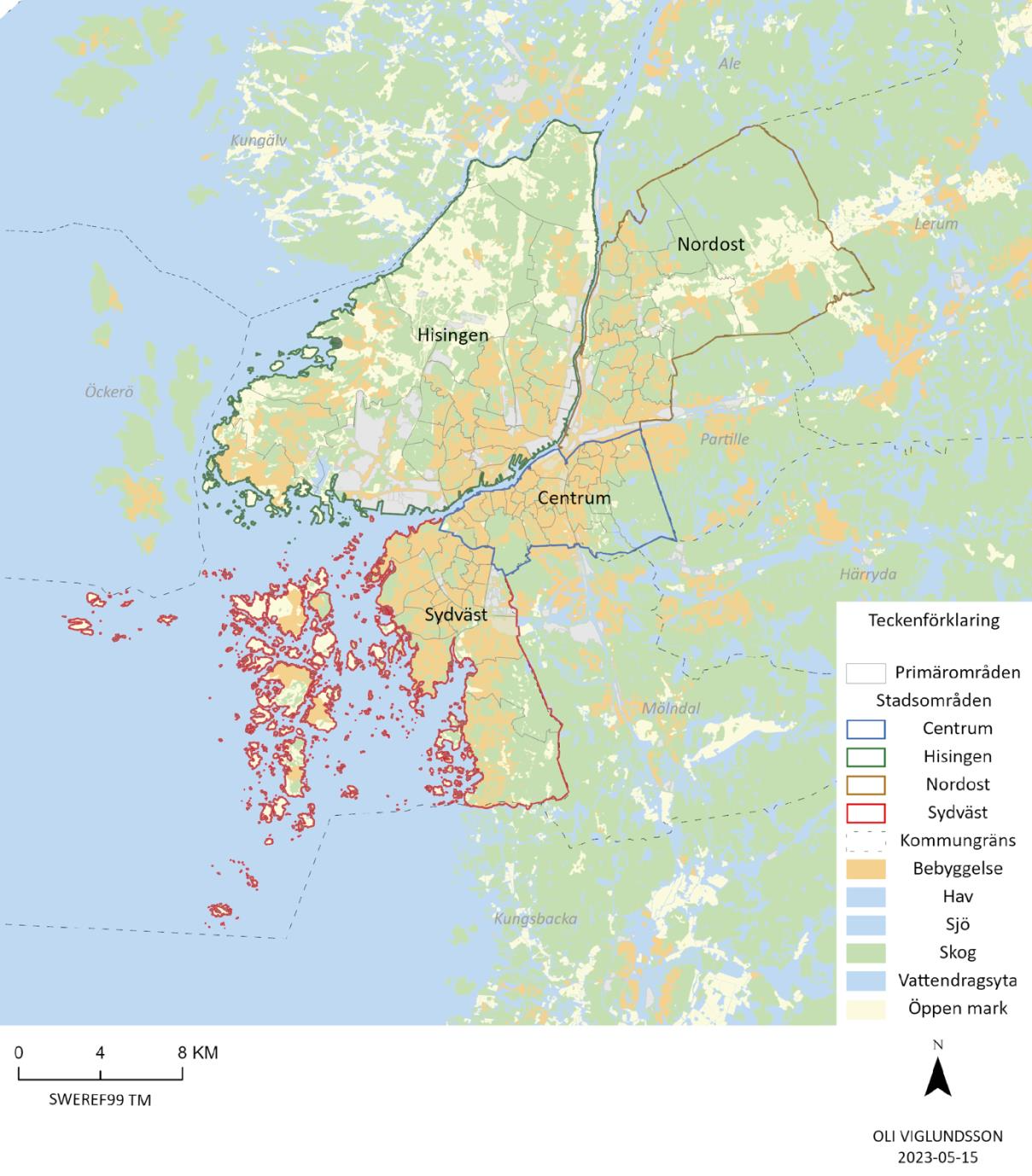
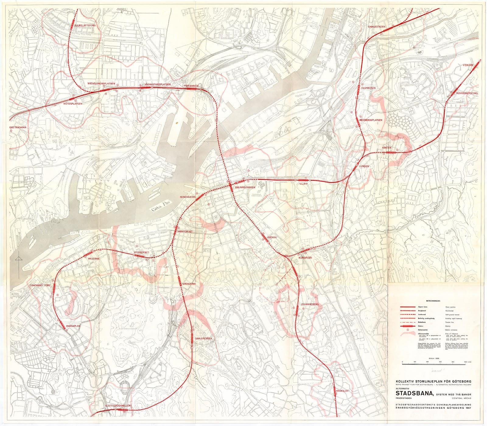
I came across GIS when I studied for my bachelor in human geography with a focus on urban and rural planning a few years ago. When I finished my bachelors program in 2021 all I wanted to do was to start working with planning but the post-pandemic situation was tough and I had to review what I really found most interesting when it came down to my years of studies. The answer was Geographic Information Systems. Working with GIS was something that in terms of interest, really stood out during my university studies. So after having spent a years parental leave with my second child 2022, I began studying to become a GIS coordinator in the beginning 2023.
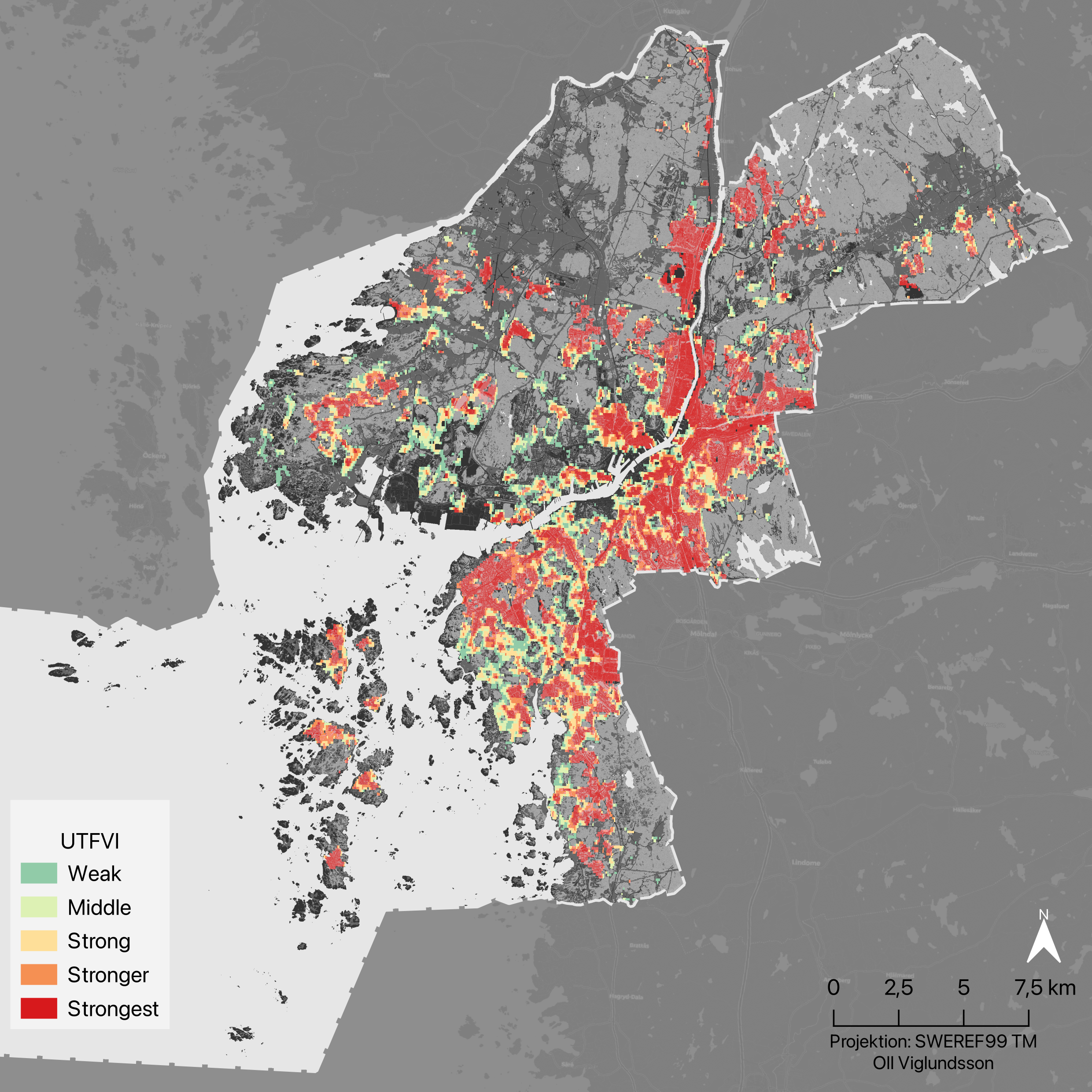
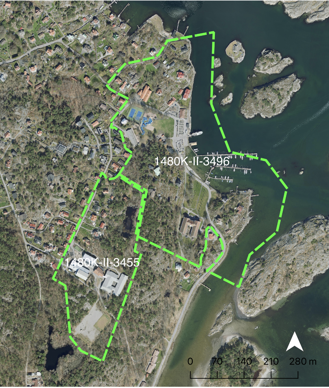
So as I journey through the fascinating world of Geographic Information Systems (GIS), I'm documenting my mapping adventures right here and you'll find my cartographic creations evolving with each step of my GIS coordinator studies.
My Projects
Urban Heat Islands & GIS
GIS-Coordinator final thesis, studying the urban heat island effect and how Gothenburg adresses heat challenges
Read More
Public administration and political science study
A GIS analysis displaying the accessibility of public services in Gothenburg
Read More
Digitizing detailed development plans
Georeferencing and digitizing two old detailed development plans in the Gothenburg archipelago.
Read More
Internship project
A work process in how to work with the implementation of metadata and automated flows.
Read More
Raster analysis
Raster analysis in Multispec and QGIS
Read More
Forest fire in Nitta
An excercise in crisis preparedness
Read More
Segregerad stad ("Segregated city")
Highlighting inequalities and sprawl in Gothenburg
Read More
Tunnelseende i Göteborg
A project that analyses an historical subway map in a modern context using cost-path analysis
Read More